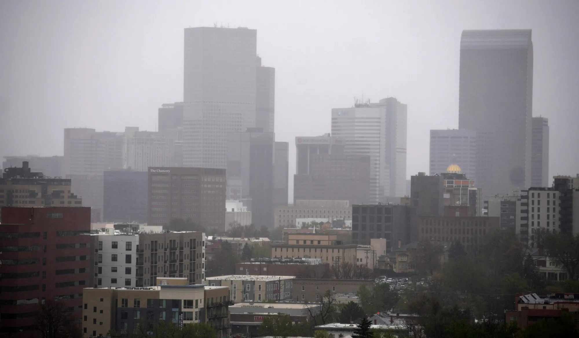
Winter Storm Warning Issued for Colorado
As Colorado braves the unpredictable weather patterns that accompany winter, the National Weather Service has issued a winter storm warning across several key areas in the state. This timely announcement comes ahead of a major storm system expected to roll through the region, bringing both significant rain and snow.
The Timeline of the Incoming Storm
The storm is set to hit on Tuesday, causing a whirlwind of weather changes. As forecasts suggest, the initial arrival will begin in the early morning hours. Denver and surrounding areas should brace for rain starting as early as 6 AM, with heavier downpours anticipated by noon. With temperatures fluctuating, some regions may see rain turning into snow as conditions deteriorate in the evening.
Areas Most Affected by Heavy Rain
Tuesday’s storm will bring varying amounts of precipitation across the state. According to meteorological reports, the Denver metro area will face substantial rain totals, which could lead to minor flooding in low-lying areas. Up to 2 inches of rain are expected in some locales, especially in the foothills and urban neighborhoods of Denver. Additionally, parts of eastern Colorado will see heightened rainfall amounts, which may exacerbate already saturated ground conditions.
Snowfall Expectations in the Mountains
While some regions will be drenched by rain, the mountains are poised to receive a significant snowfall. Forecasters predict that mountain ranges such as the Rockies could see upwards of 12 to 24 inches of snow. This winter storm will be a welcome sight for local ski resorts gearing up to kick off the winter sports season.
Impacts of the Storm System
The impact of this storm is likely to be felt by residents, commuters, and emergency services alike. In urban areas, heavy rain can lead to slick roads and decreased visibility, raising the chance of accidents. Drivers are urged to exercise caution and prepare for possible delays. Those in mountain areas should anticipate challenging driving conditions due to potential whiteout scenarios from the anticipated snowfall.
Weather Preparedness
As we approach the storm, it’s essential for residents in affected areas to prepare adequately. Here are some steps to take:
- Keep Updated: Monitor local weather reports and the National Weather Service for the latest updates and alerts.
- Stay Informed: Download weather apps and enable notifications for real-time alerts.
- Prepare Your Home: Ensure that your property is well-equipped to handle heavy rain, especially in terms of drainage and flooding.
The Aftermath: What Lies Ahead
Post-storm predictions suggest that while the rain will taper off by late Tuesday night, residual effects will linger into Wednesday. Flooding in certain areas could remain a concern through the following week, as the soil will likely take time to absorb the excess moisture.
In the mountains, the snowpack will replenish what has been lost in warmer months, but skiers and snowboarders should be aware of avalanche risks that may arise with such a heavy snow load.
Conclusion
The anticipated winter storm presents both challenges and opportunities for Colorado. While the dangers associated with flooding and heavy snowfall are real, the beneficial aspects of replenished water supplies and winter sports enjoyment create a complex tapestry of how we navigate winter in this state. Residents should stay well-informed, heed warnings, and prepare for a variety of weather events as this major storm system sweeps through.
As we gear up for the winter season, let’s remain vigilant and make the most out of the storm while ensuring our safety and that of our communities.


