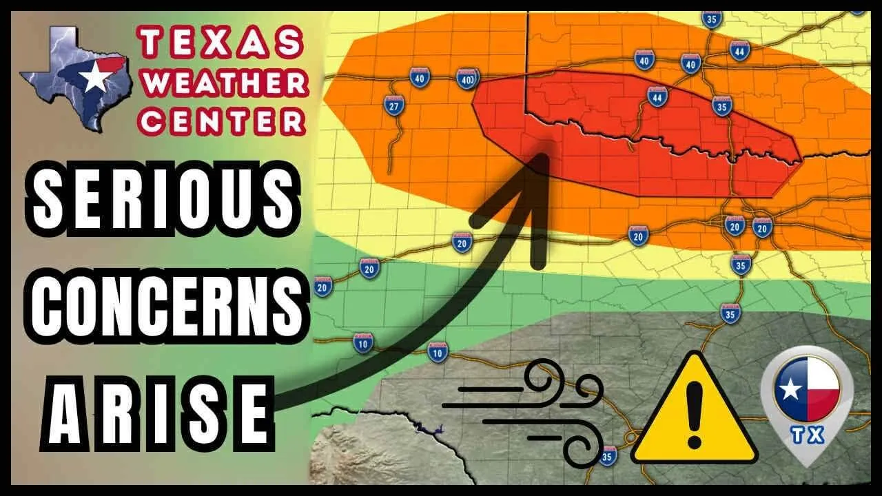
Understanding the Derecho Threat in Northern Texas
This coming Sunday night, residents in Northern Texas, including Houston, are facing a significant threat from a meteorological phenomenon known as a derecho. A derecho is characterized by a widespread, long-lived windstorm associated with a band of rapidly moving showers or thunderstorms. These storms can produce damaging winds exceeding 58 miles per hour, creating hazardous conditions and potential destruction.
What Exactly is a Derecho?
Although derechos are not as commonly discussed as hurricanes or tornadoes, they are equally dangerous. Derechos can develop during hot summer weather when the atmosphere becomes unstable due to rising heat. As storm systems move through, they can produce heavy rain, hail, and, most notably, straight-line winds that can devastate property and agricultural landscapes.
Signs of Approaching Storms
Forecasts predict that the risk for severe thunderstorms, including damaging winds, hail, and localized flash flooding, will increase as we approach the weekend. Meteorologists have highlighted that a surge of warm air will collide with cooler fronts, leading to the formation of potentially severe storm systems across the region. Residents are advised to remain alert and prepared.
The Current Weather Situation in Houston
As residents of Houston gear up for the weekend, they should also brace themselves for turbulent weather. Meteorologists have reported that the area is experiencing higher than average temperatures, which could serve as the catalyst for these severe storms. The combination of heat and humidity is like gasoline on a fire, creating ripe conditions for severe thunderstorm development.
Forecast for the Coming Days
The National Weather Service has issued updates noting that the risk of storms will peak on Sunday evening. Heavy rainfall, thunderstorm activity, and gusty winds are likely to be prevalent. Local forecasts predict that these thunderstorms could develop rapidly, and if the derecho form, localized areas may experience winds that can down trees and power lines.
Impacts of a Derecho
Derechos can lead to widespread disruption. High winds can easily uproot trees, snap power lines, and damage buildings. The impacts extend beyond just immediate destruction; long-term power outages can ensue, and in some cases, emergency services may be strained as they respond to multiple incidents simultaneously.
Preparing for the Weekend Storms
As we head into the weekend, residents should take proactive measures to ensure their safety and minimize damage. Here are several steps you can take to prepare:
- Stay Informed: Regularly check official weather updates from the National Weather Service and local meteorologists. Keep an eye on weather alerts and warnings issued throughout the day.
- Create an Emergency Kit: Make sure you have essential supplies on hand. This includes non-perishable food, water, flashlights, batteries, and a first aid kit.
- Secure Loose Items: Winds can transform ordinary objects into dangerous projectiles. Secure or bring indoors outdoor furniture, decor, and anything else that can be blown away.
- Know Your Shelter: Identify the safest place in your home where you can go in case of severe weather. This should ideally be a basement or an interior room away from windows.
Post-Storm Considerations
Once the storms have passed, the aftermath can be just as dangerous as the storm itself. Downed power lines and flooded roads can pose serious risks. Residents should steer clear of any flooded areas, as just a small amount of moving water can carry you away. Always wait for official notifications before venturing out.
Community Preparedness
Communities need to work together to prepare for severe weather. Local governments should engage in proactive planning, improve communication systems to alert residents, and have response teams ready to mobilize when necessary.
Conclusion
The impending threat from a derecho this Sunday night serves as a crucial reminder of the power of nature and the importance of preparedness. With the combination of high temperatures and climatic conditions expected over the weekend, Northern Texas residents must stay vigilant and proactive about their safety.
As the storm system approaches, remember: stay informed, stay prepared, and prioritize safety above all else. Never underestimate the unpredictable nature of severe weather, as it can change direction and intensity rapidly.
Stay safe out there, Texas!


